
Map multiple addresses
Map multiple addresses
from a list or a spreadsheet.
Paste addresses one per line or drop in an Excel or CSV file. Every address is looked up and pinned on one map, the doubtful ones are flagged for you, and the map turns into driving routes when you're ready.
Free plan, no credit card. Works in any browser.
In short
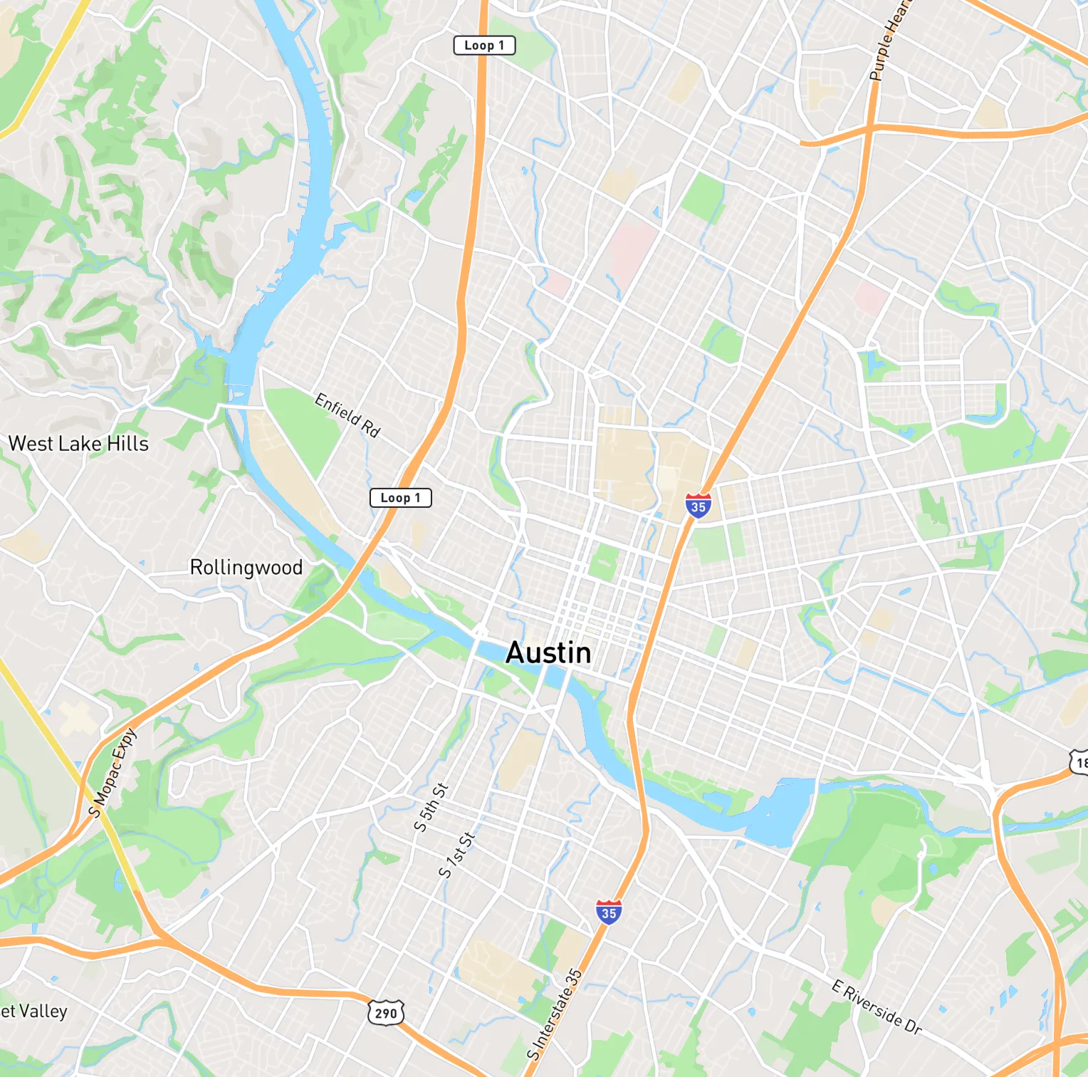
To map multiple addresses at once, paste them one per line or upload a CSV or Excel file into EZRoutePlanner. Each address is looked up and shown as a pin on one map, and matches it isn't sure about are flagged so you can fix them before saving. The free plan maps 30 saved addresses; paid plans hold up to 10,000, and any of them can become a route.
- Adding addresses
- Paste a list, upload CSV or Excel, search, or click the map
- Files
- .csv, .xlsx and .xls, up to 20 MB
- How many
- 30 free; 200 to 10,000 on paid plans
- Doubtful matches
- Flagged at the top, to fix before anything is saved
- Best for
- Seeing customers on a map, then driving to them
Updated
From list to map
How do you map a list of addresses?
Bring the addresses in all at once, let each one be looked up, check the few it flags, then save them. A list of a few dozen takes a few minutes, most of it spent glancing at the flagged ones.
- 01
Bring in the list
Paste the addresses one per line from an email or document, or upload the spreadsheet they live in. The account is free, with Google or email sign-in.
- 02
Watch the pins land
Every line or row is looked up and dropped on a review map as it's found, so you can see the whole list take shape.
- 03
Fix the flagged ones
Anything marked Approximate, Incomplete address or Not found sits at the top. Look it up again, place it on the map, or leave it out.
- 04
Save to your map
Import, and every pin is saved to your Address Book with its label, ready to search, filter or turn into a route.
Quick paste
Can you paste a list of addresses onto a map?
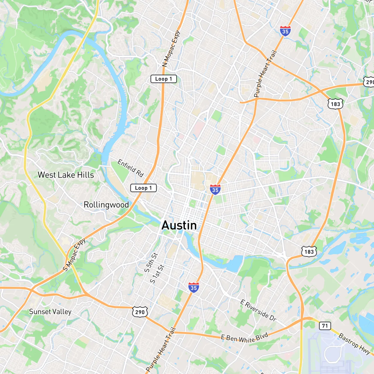
Yes. Choose Quick Paste Multiple, paste one address per line and press Find addresses. The lines can come from anywhere you can copy: an email, a text message, a Word document or a column in Google Sheets. Repeated lines are skipped, so pasting the same list twice doesn't double your pins.
- Full addresses work best: number, street, city and ZIP
- Coordinates work too, for places with no street address
- Addresses you've already saved are recognized, not added again
Spreadsheets
How do you create a map from an Excel spreadsheet?
Upload the file and EZRoutePlanner works out which columns make up the address, even when street, city, state and ZIP are in separate columns. You pick one column, such as the customer name, as the label on each pin. CSV, .xlsx and .xls files up to 20 MB all work, and a Google Sheet can be downloaded as either first.
- If it isn't sure which columns hold the address, it asks you to check them
- Only the address and the label are imported; phone numbers and notes stay in your file
- Walkthrough with screenshots: how to map addresses from Excel
 © Mapbox © OpenStreetMap
Fixing pins
What if a pin lands in the wrong place?
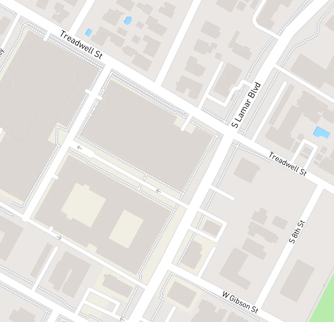
Move it. Open the address and search for a better match, type coordinates, or drag the pin to the right building. EZRoutePlanner finds the nearest address to the new spot and shows how far the pin moved before you save. Rural roads, new subdivisions and business parks are where misplaced pins usually turn up.
- Drag the pin and the nearest address is filled in
- See the distance it moved before saving
- Routes that use the stop can move with it
- More fixes: addresses that won't geocode
 © Mapbox © OpenStreetMap
After the map
What can you do with the addresses once they're mapped?
They stay saved in an Address Book, so the map is still there tomorrow and every pin is a click away from a route.
Search the Address Book
Find any address by street or label, filter by route, and archive the ones you no longer visit.
A label on every pin
Use the customer, store or site name as the label, so you know whose pin is whose without opening it.
Pins into routes
Lasso a neighborhood, choose Create Route, and press Optimize Route for the shortest order.
Colored by route
Each route gets its own color, out of 42, and its pins show their stop numbers.
Your base on the map
Save the office, shop or depot as a base so it's on the map and every route can start there.
Coordinates back out
Export routes to CSV or Excel with the latitude and longitude of every address, or print a PDF route sheet.
From pins to a drive
How do you turn a map of addresses into a route?
Select the pins you want to visit, make a route from them, and optimize it. The route is drawn on real roads with the distance of every leg, ready to open in your navigation app.
Lasso or click
Draw around pins on the map, or click them one by one, then Create Route or add them to a route you already have.
Optimize from your base
Start at your base or any address, turn on Round Trip to come back, and the stops fall into the shortest order.
Send it out
Open it in Google Maps, share a link the driver opens with no app, or print it. See the multi-stop route planner.
Pick the right map
What kind of address map do you need?
It depends on what the map is for. To see where your customers are, plenty of tools will do. To drive to them, the stops need to be in order, and that's where a route planner's map earns its keep.
| What the map is for | What usually works | EZRoutePlanner |
|---|---|---|
| Seeing where customers are | Any tool that imports a list. Google My Maps takes up to 2,000 rows per file | Yes: labeled pins, saved in an Address Book |
| Driving to them in a good order | A route planner. Google Maps alone takes 10 places, in your order | Yes: lasso pins into routes and optimize |
| Getting stops to drivers | A route link or a printed sheet | Yes: a link or QR code, no app for the driver |
| Heat maps, territories, color by sales | A mapping or GIS tool | No: pins are colored by route, not by your data |
| A public map on your website | A web mapping tool you can embed | No: route links are for drivers, not embedding |
| More than 10,000 addresses | A GIS or data tool | No: 10,000 saved on the largest plan |
Google My Maps import limit from Google My Maps Help; Google Maps from Google Maps Help. Checked October 2026.
Pins, explained
How do you make a map with multiple pins?
To make a map with multiple pins, each address has to be turned into a point on the map, a step called geocoding. Paste or upload the addresses and EZRoutePlanner geocodes every one and drops a pin for it, labeled with the name you chose and colored by the route it belongs to.
Most bad pins come from the list, not the map. A street with no city can match the same street name in another state, and a bare county road number can land miles from the house. Putting the city and ZIP on every address fixes most of them before they start.
Keep in mind what it's built for. EZRoutePlanner's map exists to plan driving routes. It doesn't draw heat maps, shade territories or color pins by a sales column, and there's no public map to embed on a website. If that's the job, a dedicated mapping tool is the better pick.
Keep going
Guides for mapping addresses
- How to map addresses from an Excel spreadsheetGuide
- How to import addresses from Excel into Google Maps (My Maps)Guide
- Why addresses land in the wrong place on a map (and how to fix them)Guide
- How to combine address columns in Excel (street, city, state, ZIP)Guide
- Address list cleanerFree tool
- Excel route plannerPlanner
Frequently asked questions
How do I map multiple addresses at once?
Paste them one per line, or upload a spreadsheet, into a tool that looks up whole lists. In EZRoutePlanner each address is pinned on one map and the doubtful ones are flagged before you save. A free account holds 30 addresses.
How do I plot multiple addresses on Google Maps?
Google Maps shows one search at a time, or up to 10 places in a route. To see a whole list as pins with Google's tools, import a CSV or Excel file into Google My Maps, which takes up to 2,000 rows per file. To drive to them, map them in a route planner and open the route in Google Maps. More in how to import addresses into Google Maps.
How do I make a map from Excel?
Save the sheet as .xlsx, .xls or CSV and upload it, up to 20 MB. EZRoutePlanner finds the address columns, even when they're split, and you choose a label column. Each row becomes a pin on the review map. If you'll be driving to them, the Excel route planner page covers the rest.
How many addresses can I put on one map?
30 on the free plan. Paid plans hold 200, 1,000, 3,000 or 10,000 saved addresses depending on the plan, all on one map. A single route takes up to 30 of them on Free and 200 on paid plans.
Why are some of my addresses flagged?
Because the lookup isn't sure. Approximate means it found something close but not exact, Incomplete address means parts like the city are missing, and Not found means nothing matched. Search again, place the pin on the map yourself, or leave the row out.
Can I color the pins by category or sales territory?
No. Pins take the color of the route they're on, out of 42 route colors, not a value from your spreadsheet. For maps colored by your own data, a mapping or GIS tool is the right fit.
Will phone numbers or notes show on the map?
No. The import keeps the address and one label column you choose. Phone numbers, notes and gate codes stay in your spreadsheet, so keep it as your master list.
Can I map addresses on my phone?
Yes. EZRoutePlanner runs in the phone's browser, so you can paste a list or search for addresses there. Spreadsheet uploads and fixing lots of pins are easier on a computer screen, and both show the same map.
Is it free to map multiple addresses?
Yes, up to 30 saved addresses, with no time limit and no credit card. You need a free account. Paid plans start at $20 a month for more addresses and several routes.
Related
- PlannerExcel route plannerUpload a CSV or Excel file of addresses and get optimized routes, with the address columns found for you.
- GuideHow to map addresses from an Excel spreadsheetMap addresses from Excel: tidy the sheet, put every row on a map as a pin with Google My Maps or a route planner, check the pins, then plan the drive.
- ComparisonMapline vs EZRoutePlannerMapline doesn't publish its paid prices, and its free Starter plan maps up to 500 rows. EZRoutePlanner lists every price: free for 30 addresses, then $20/mo.
- Free toolAddress list cleanerCombine street, city, state and ZIP columns into one clean address per line, and remove duplicates.
- PlannerMulti-stop route plannerPlan and optimize routes with up to 200 stops, from a pasted list or a spreadsheet.
- ComparisonMaptive vs EZRoutePlannerMaptive Pro is $110/mo or $1,250/yr and optimizes about 70 stops a route. EZRoutePlanner routes up to 200 stops, free to start, then from $20/mo.
Plan your next route in minutes.
Paste your addresses or drop in a spreadsheet, optimize the order with one click, and send it to your phone. Free to start, no credit card.
Free plan. No credit card. Works in any browser.